STUDENTS LEARN ABOUT DIFFERENT MOUNTAIN RANGES, PEAKS & PLATEAUS
08-06-2021
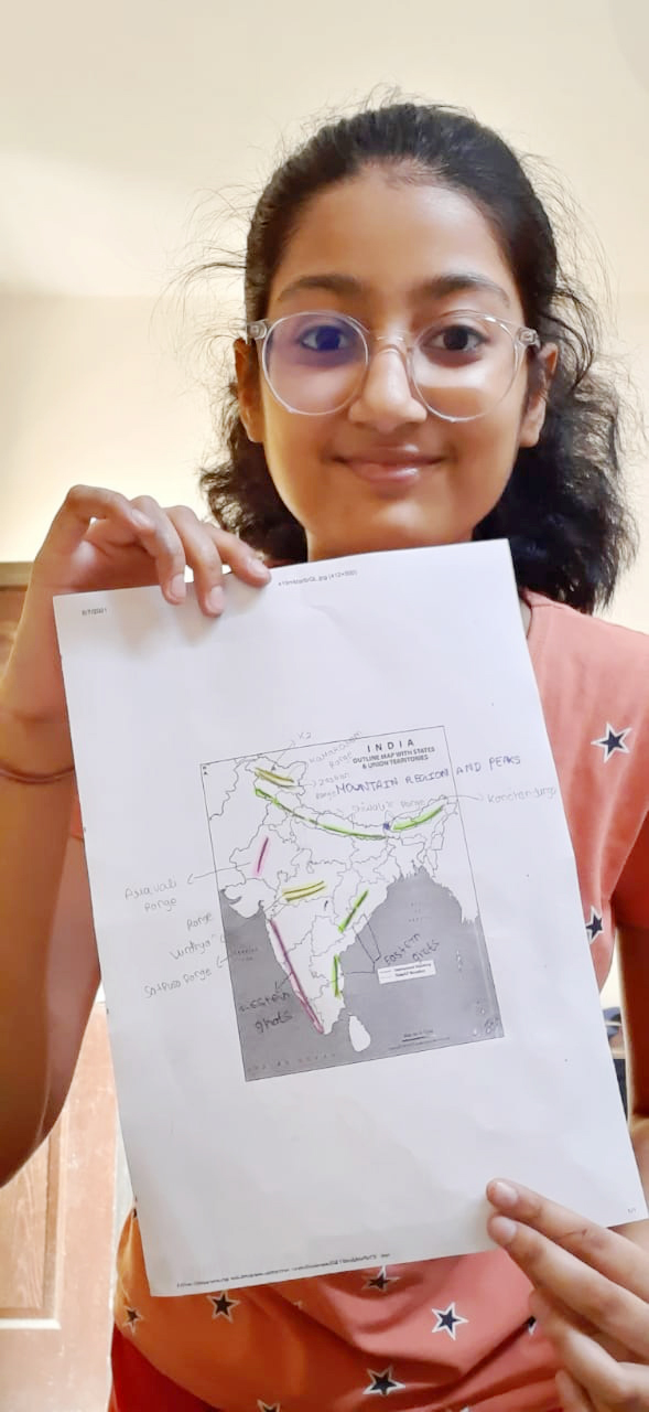
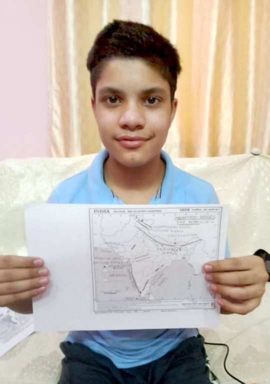
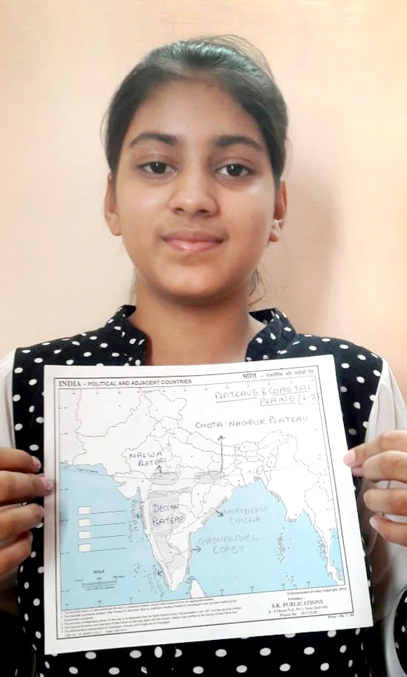
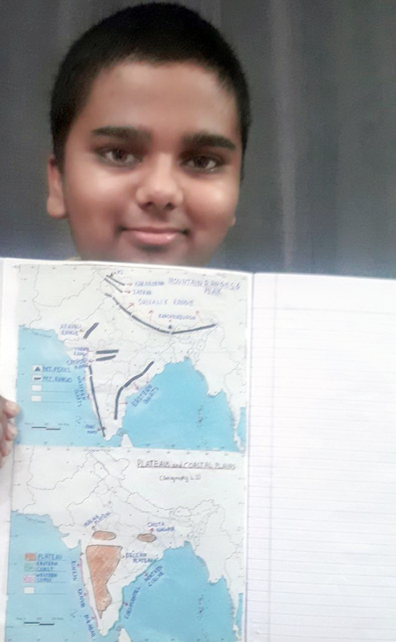
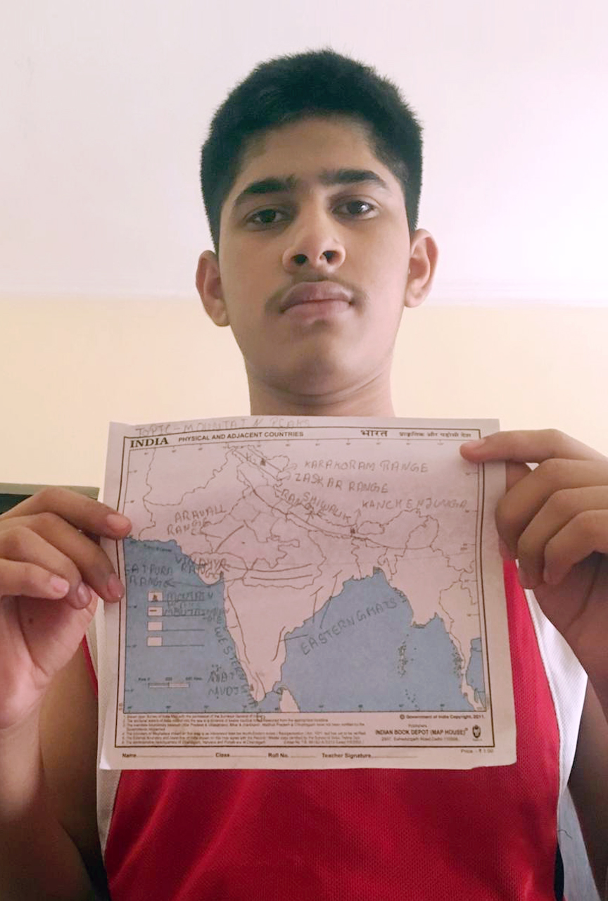
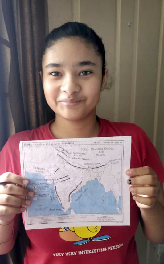
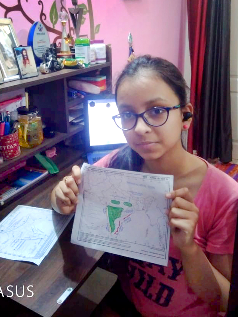
Maps represent the real world on a much smaller scale. They help us travel from one location to another. A map activity was conducted in grade IX of Presidium to help students synthesize and integrate information, ideas, and concepts. The topic of this activity was ‘Locating and labeling of the Mountain ranges, peaks and plateaus in the map of India.’ On the physical map of India, students marked the mountain ranges, peaks, and plateaus. During this activity, students noticed how the Himalayas play a vital role in regulating the climate in northern India by preventing cold air from entering the Indian mainland in the winter season. They also gained knowledge about the location of plateaus and their importance that they are the storehouse of minerals.

