HomeNews and UpdatesPresidians synthesize & integrate information with map activity!
PRESIDIANS SYNTHESIZE & INTEGRATE INFORMATION WITH MAP ACTIVITY!
08-08-2020
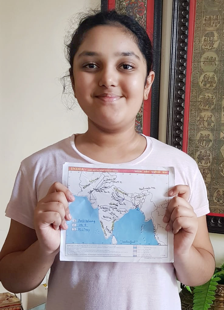
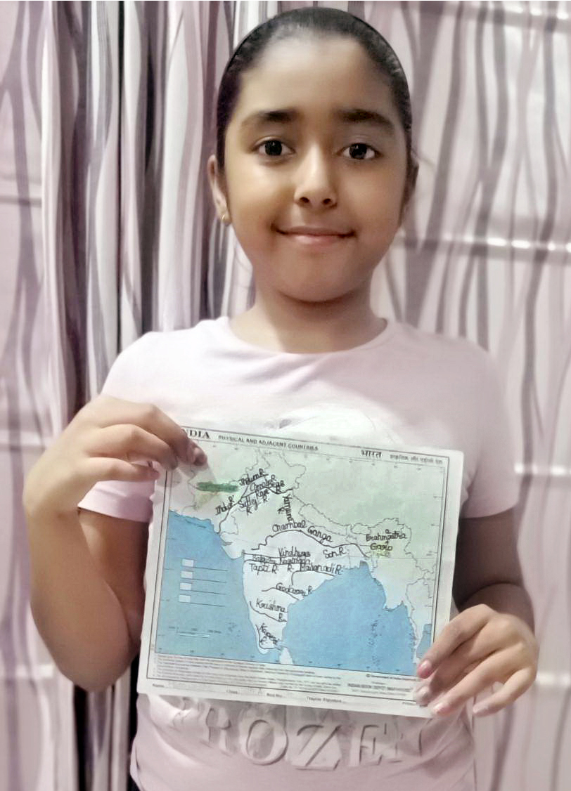
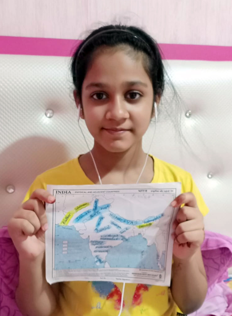
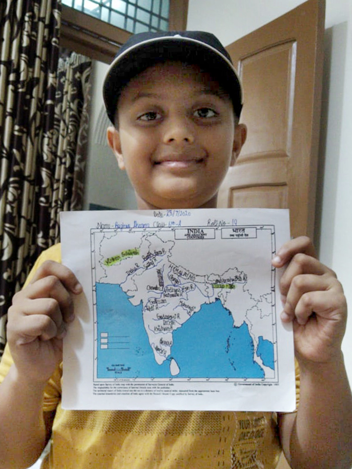
Maps help to clarify and structure ideas. A map activity was conducted in grade 6 of Presidium to help students synthesize and integrate information, ideas, and concepts. On the physical map of India, students marked tributaries of different rivers and identified the Sulaiman and Kirthar hills' location. During this activity, students noticed how small streams flowing from different directions come together to form the main river. This helped them to represent the real world on a much smaller scale. It was a fun-filled activity and assisted our students to enhance their learning.


